West Bengal has two approval systems. In a municipality, an empanelled architect or Licensed Building Surveyor applies on the state’s online system under the West Bengal Municipal (Building) Rules, 2007, which allow the authority 60 days to decide. In a gram panchayat area, the owner applies on the Panchayats and Rural Development portal.
Which authority sanctions a house plan in West Bengal?
The authority depends on where the plot lies. Kolkata has its own corporation, and New Town has its development authority, as covered in the posts on KMC building plan sanction and NKDA building plan approval. Elsewhere, the plot falls under one of two systems:
| Area | Law and rules | Who permits | Where to apply |
|---|---|---|---|
| Municipality or municipal corporation (outside KMC) | West Bengal Municipal Act, 1993 and the WB Municipal (Building) Rules, 2007 | Board of Councillors of the municipality | State OBPAS (e-Grihanaksha) |
| Gram panchayat area | West Bengal Panchayat Act, 1973 and the Gram Panchayat Administration Rules, 2004 | Pradhan, or Executive Officer of the Panchayat Samiti or Zilla Parishad | P&RD portal, gpms.wbprd.gov.in |
The rest of this post takes each system in turn. Rules change, and this post uses the versions listed in the sources, accessed on 13 November 2026. Check the current circular with your municipality, block or Panchayat Samiti office before you file.
How does building plan approval work in a West Bengal municipality?
The application is filed online by an empanelled professional. The Department of Urban Development and Municipal Affairs runs the single-window OBPAS, called e-Grihanaksha, for urban local bodies. Its page lists the services it carries: registration, application, tracking, re-submission of corrected drawings, renewal, alteration and extension, intimation of commencement and plinth level, and the completion request for an occupancy certificate.
The steps follow the 2007 rules:
- Engage the technical persons. Rule 14 requires the plan to be prepared and the structural work designed and supervised by an architect, structural engineer or Licensed Building Surveyor as rule 15 requires, and they must be empanelled with the municipality.
- Prepare the drawings and reports. A site plan, a building plan, specifications and, where required, a soil test report.
- File the application. The notice is given in Form B with the documents in rule 11, signed by the architect or LBS, a structural engineer and a geotechnical engineer as the case may be, and by the owner.
- Answer queries. Within 60 days of receipt, the Board of Councillors may require further information (rule 19).
- Receive the decision. Within 60 days of receiving the application and plan, or the information it asked for, the Board accords sanction, refuses it, or grants provisional sanction (rule 21).
- Pay the permit fee. The building permit is issued after proof of payment of the fee under rule 24, which is set on the covered area.
- Build and report. One copy of the sanctioned plan is kept on site at all times (rule 20), and a notice of completion leads to an occupancy certificate.
The 2007 rules were published in the Kolkata Gazette on 14 February 2007 and have been amended since. The portal’s own page lists an amendment of 2016, so use the amended text.
What documents does a municipality need?
Rule 11(3) of the 2007 rules lists what goes with the notice.
| Document | Why it is asked for |
|---|---|
| Documents showing the applicant’s exclusive right to the work | Proof of title |
| Receipts for tax paid to the municipality for the previous quarter, and a no-dues declaration | Municipal tax is current |
| Declaration naming the technical personnel, with their consent | Who is accountable for the design and the work |
| Drawings in the number of copies the rules set | Site, key plan (scale not less than 1:4000), building plan |
| Certified site plan and soil and slope stability test reports | Safe foundation design |
| Clearances or NOCs where the use or site needs them | Fire, airport or other bodies, as applicable |
| Composite declaration in Form B, with undertakings | Owner’s and professionals’ obligations |
The municipality may ask for originals of every document before it sanctions. The sanction is valid for three years under rule 23 as gazetted and can be renewed for two more on payment.
How long does a municipality take?
Rule 21 gives the Board of Councillors 60 days from receipt of the application with the building plan. Online services in the state often quote shorter limits. For example, the West Bengal Industrial Development Corporation’s guideline for industrial parks, which cites the same 2007 rules and the Right to Public Services Act, states 30 days for a building permit. That is a different authority and use, so do not take it as your municipality’s limit.
Height is capped. Rule 53 says that in a municipality the building height shall not normally be more than 14.5 m, and taller schemes are sanctioned only as special cases with the approval of the Superintending Engineer of the Municipal Engineering Directorate.
How does building plan approval work in a gram panchayat in West Bengal?
The owner applies online on the P&RD portal. SOP 3/P&RD, issued on 30 November 2020, sets the process for erecting a new building in a gram panchayat area, outside industrial estates and areas under a declared development plan. The applicant fills the form and uploads the documents on gpms.wbprd.gov.in and receives a 15-digit application ID and a QR code.
Who permits and who vets the plan depends on the size of the building:
| Plinth area and height | Plan vetted by |
|---|---|
| Up to 150 sq m and up to 6.5 m | Gram Panchayat (Pradhan) |
| Up to 300 sq m and up to 6.5 m | Panchayat Samiti |
| More than 300 sq m and up to 15 m | Zilla Parishad |
| More than 15 m | P&RD Department |
The SOP also sets who may prepare and authenticate the plan, by the height of a residential building:
| Residential building height | Qualification of the technical person |
|---|---|
| Up to 4 m | Draftsman (civil) |
| Up to 11 m | Licensed Building Surveyor with a civil engineering diploma |
| Up to 15 m | Degree holder in civil engineering |
| Any building, residential, commercial or institutional | Architect |
What documents does a gram panchayat need?
The SOP lists four items to upload:
- The building plan and site plan in PDF, authenticated by the competent technical person above.
- A copy of the record of rights and other records showing the applicant’s title and interest in the land.
- A document showing the character of the land, or a conversion certificate where the land was converted.
- A soil stability report issued or authenticated by an LBS, structural engineer or geotechnical engineer who is empanelled or registered with a municipality or municipal corporation in West Bengal.
What are the time limits in a panchayat?
The SOP gives these steps and limits for a residential building:
- Within 30 days of receipt, the panchayat intimates the applicant whether the application is complete and the fee payable.
- If the application is rejected for missing or non-conforming documents, intimation comes within 60 days of application.
- The applicant pays the fee online within 3 days of the intimation.
- On payment, the panchayat issues the permission with the vetted plan, which can be downloaded from the portal.
The applicant can check status with the 15-digit ID. If a rejection happens, the data can be imported into a fresh application.
How does the studio work on approvals outside Kolkata?
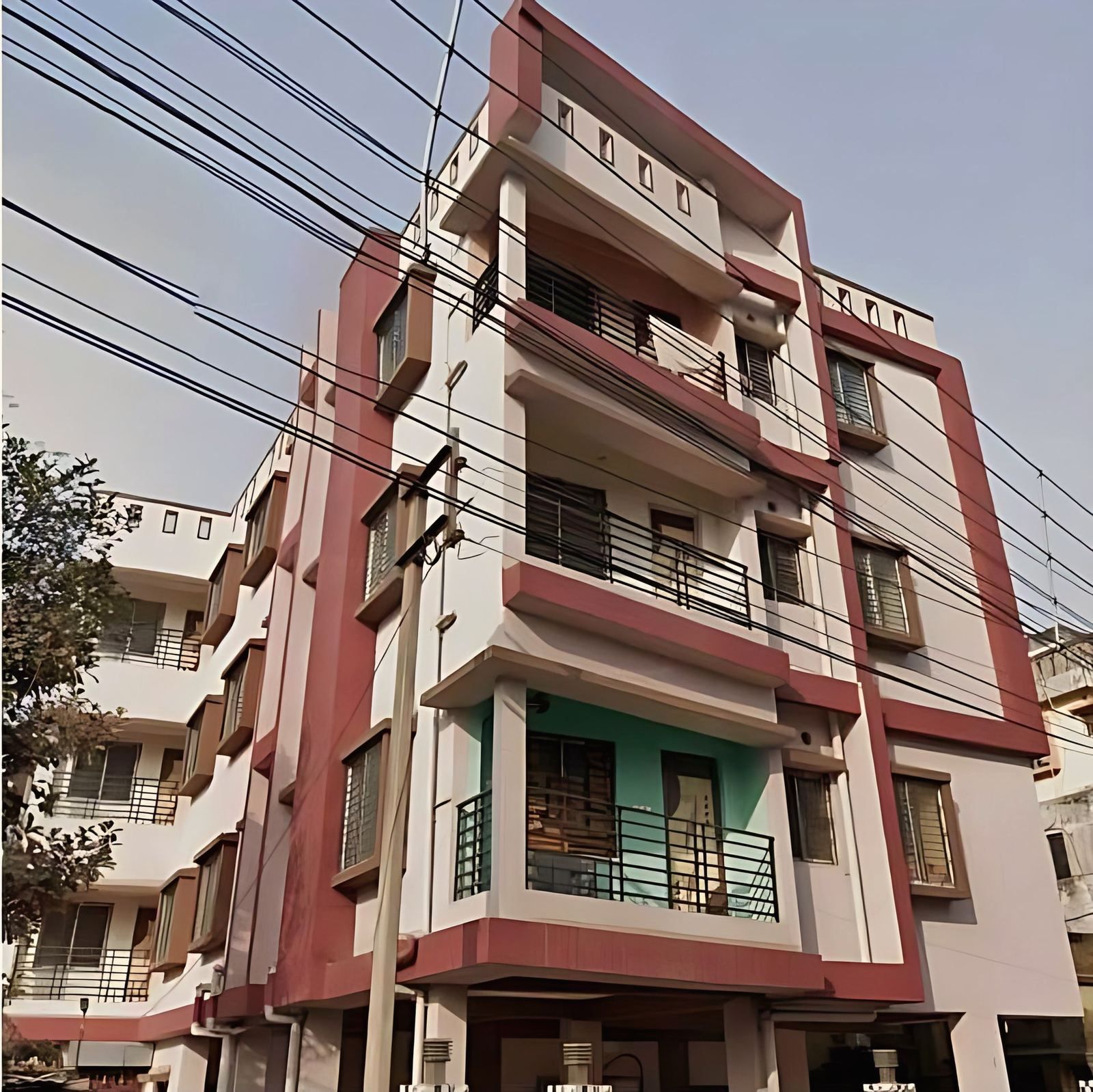
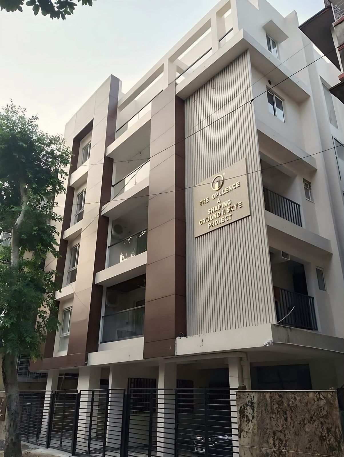
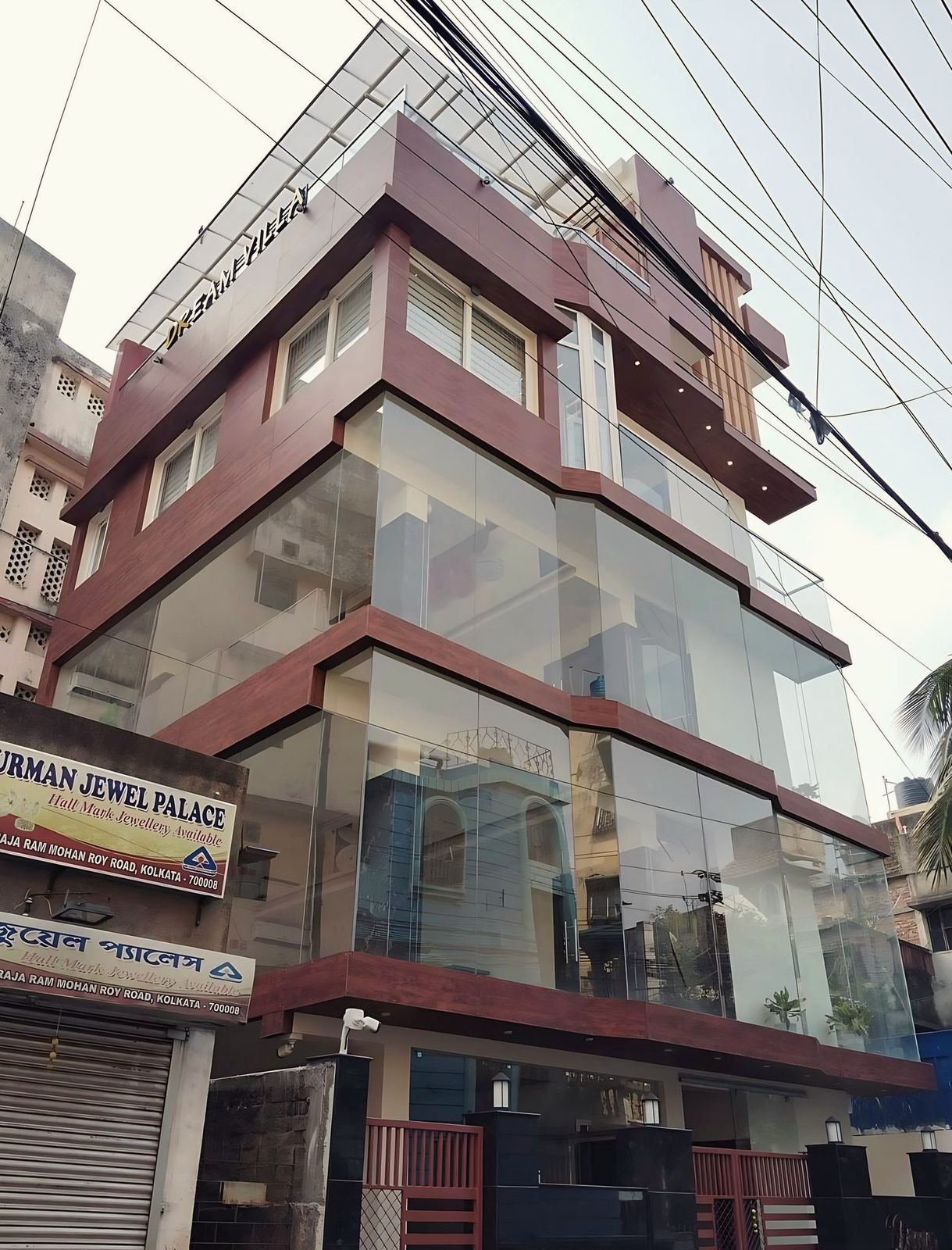
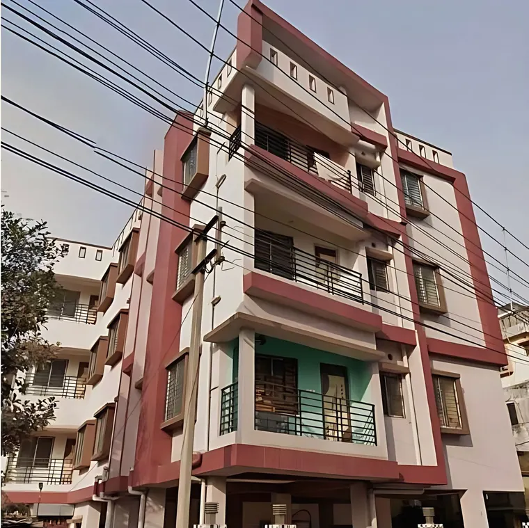
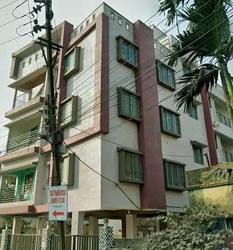
The studio is empanelled with Rajpur Sonarpur Municipality as well as KMC and NKDA, and prepares sanction drawings in-house. Its apartment building in Sonarpur, in the Rajpur Sonarpur municipal area, is described on its project page. The studio’s building plan approval page describes the service, and the Siliguri and North Bengal page covers the studio’s work in that region.
What to do next
Before you commission drawings, find out whether the plot is under a municipality or a gram panchayat, and which land records you hold. If you want help reading your situation, send the mouza, plot area and intended height through the contact page.